Gadgets
Satellite imaging can now spot plastic trash hiding on beaches

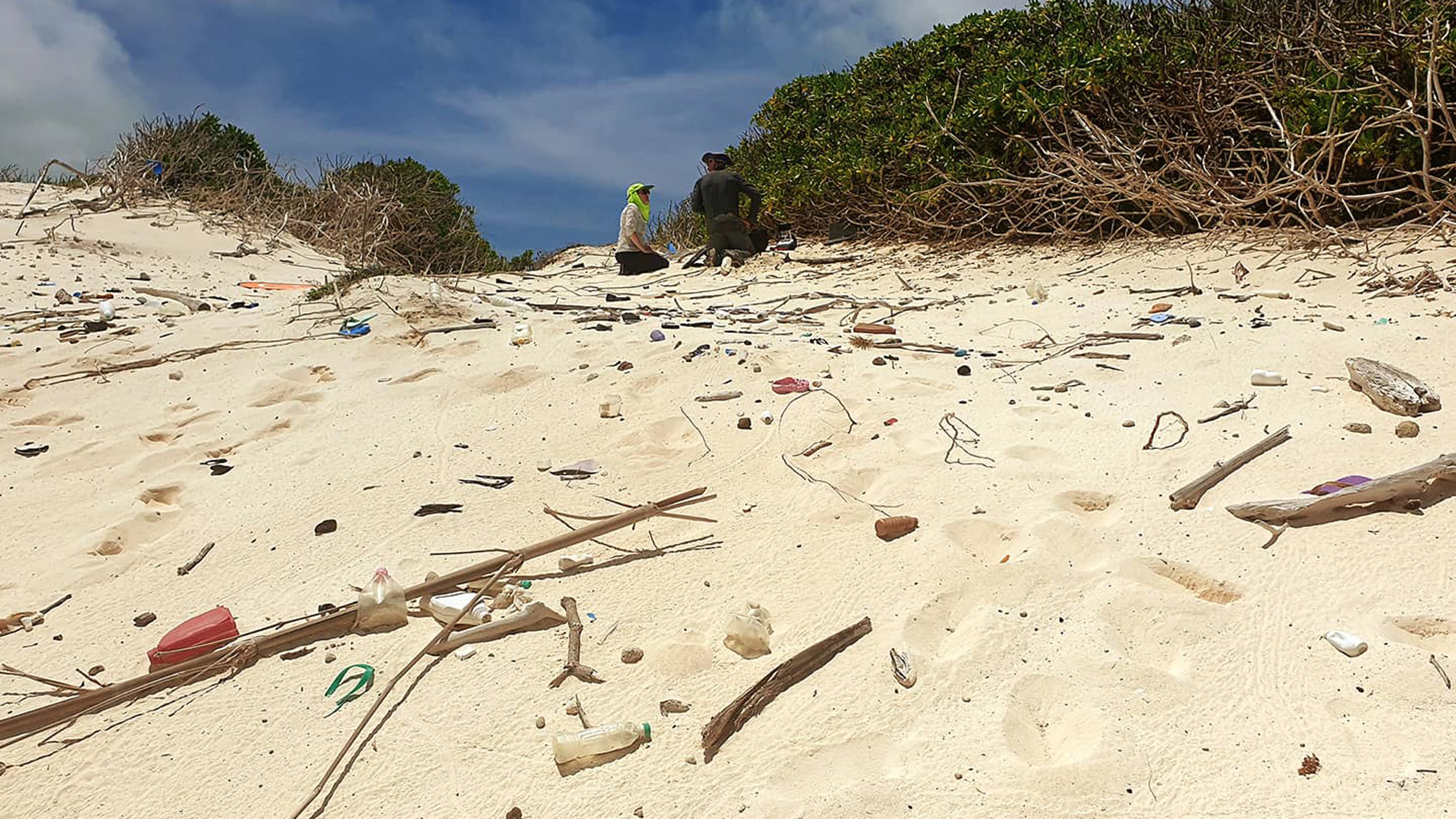
Walking along a beach, it’s common to come across abandoned plastic waste like water bottles, straws, and bags. This trash eventually finds its way into the ocean, where it breaks down over many years. In 2021, volunteers from 97 countries removed around 4,000 tons of trash from beaches worldwide. However, identifying this garbage usually requires manual effort. A new satellite imaging technique developed by researchers from RMIT University in Australia could change that.
The researchers created a tool that can detect unique spectral features of plastics, allowing them to accurately identify plastic items on beaches. This development, soon to be published in the journal Marine Pollution Bulletin, could help organizations expedite plastic removal efforts, reducing the amount of plastic contaminating our oceans.
According to study co-author Mariela Soto-Berelov, “This is incredibly exciting, as up to now we have not had a tool for detecting plastics in coastal environments from space.”
Plastic waste isn’t just an ocean problem
While satellite imagery has been effective in identifying plastics in the ocean, detecting plastic on beaches has been more challenging. Coastal plastic often blends in with sand, making it harder to spot. This coastal trash can have serious impacts on local wildlife, with larger animals getting entangled and smaller ones getting trapped in plastic items.
Lead author of the study, Jenna Guffogg, emphasized the harmful effects of coastal plastic on marine life. If left unaddressed, these plastics can degrade into microplastics, entering the food chain and potentially affecting human health.
Finding plastic in sand sack
The RMIT researchers developed a new “spectral index” that can distinguish plastics from sand and organic debris based on their unique spectral attributes in the shortwave infrared spectrum. Their index, named the Beached Plastic Debris Index (BPDI), acts as a filter for satellite images of beaches captured by satellites like WorldView 3.
To validate their tool, the researchers placed various plastic targets on a beach and used satellite imagery to identify them. Their BPDI index outperformed other existing indices in accuracy, although it faced challenges in identifying translucent plastics like water bottles. Moving forward, the researchers aim to collaborate with organizations involved in coastal plastic removal to implement their satellite imaging technique and protect beaches from plastic waste.
With the increasing rate of plastic pollution entering oceans, urgent action is needed to mitigate its effects on marine ecosystems and human health.
-

 Destination7 months ago
Singapore Airlines CEO set to join board of Air India, BA News, BA
-

 Breaking News9 months ago
Croatia to reintroduce compulsory military draft as regional tensions soar
-

 Tech News11 months ago
Bangladeshi police agents accused of selling citizens’ personal information on Telegram
-

 Breaking News9 months ago
Bangladesh crisis: Refaat Ahmed sworn in as Bangladesh’s new chief justice
-

 Productivity11 months ago
How Your Contact Center Can Become A Customer Engagement Center
-

 Toys11 months ago
15 of the Best Trike & Tricycles Mums Recommend
-

 Guides & Tips9 months ago
Have Unlimited Korean Food at MANY Unlimited Topokki!
-

 Gaming9 months ago
The Criterion Collection announces November 2024 releases, Seven Samurai 4K and more


